
Dedicated Image Classification Platform Teams
Oodles builds production-ready image classification platforms using Python-based computer vision pipelines, deep learning frameworks, and scalable MLOps workflows. Our teams design, train, deploy, and optimize image classification systems that accurately categorize visual data across manufacturing, retail, healthcare, agriculture, and geospatial domains.
How Image Classification Platforms Work
Image classification platforms automate the process of ingesting image datasets, training deep learning models, deploying inference services, and monitoring accuracy over time. Oodles engineers build classification pipelines using Python, OpenCV, TensorFlow, and PyTorch, combined with dataset versioning, automated augmentation, GPU-accelerated training, and optimized inference using ONNX and TensorRT.
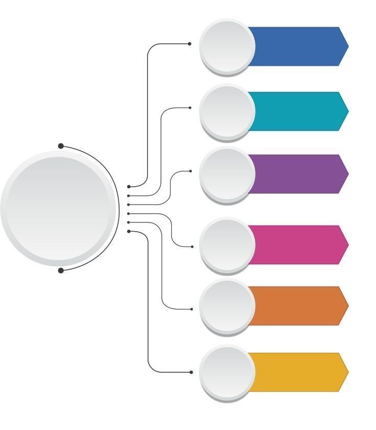
Image Classification Platform Components We Build
DataOps & Annotation Pipelines
Image ingestion, labeling, quality validation, and dataset versioning pipelines that prepare balanced and high-quality training data for image classification models.
Model Experimentation Workbench
Experimentation environments for CNNs, Vision Transformers (ViT), and lightweight architectures using TensorFlow and PyTorch with accuracy, precision, recall, and confusion-matrix evaluation.
Edge & Cloud Inference Fabric
Optimized image classification inference using ONNX and TensorRT, enabling low-latency predictions on edge devices and scalable cloud-based deployments.
Quality, Drift & Explainability
Continuous monitoring of classification accuracy, data drift, and class imbalance with explainability metrics to maintain trustworthy image classification outputs.
Workflow & Integration APIs
REST and GraphQL APIs that expose image classification results to dashboards, enterprise systems, and automated decision workflows.
Lifecycle MLOps Automation
CI/CD pipelines, experiment tracking, model versioning, and observability workflows that ensure reproducible and scalable image classification systems.
Image Classification Use Cases
Oodles applies image classification models to solve real-world problems by accurately categorizing visual data at scale.
Manufacturing & Industrial QA
Classify defects, surface conditions, and assembly states in real time using edge-deployed image classification models.
Retail, CPG & Inventory Classification
Categorize products, shelf images, and catalog photos to improve inventory accuracy and visual search systems.
Healthcare & Medical Imaging
Classify medical images and scans to assist diagnostics while maintaining accuracy, auditability, and compliance.
Agriculture & Sustainability
Identify crop health, disease patterns, and vegetation types using aerial and ground-based image classification.
Geospatial & Remote Sensing
Classify satellite and aerial imagery for land use analysis, infrastructure monitoring, and environmental insights.
Safety, & Compliance
Power safety and compliance workflows using explainable image classification models with human-in-the-loop review.
FAQs (Frequently Asked Questions)
Image classification uses deep learning models such as CNNs and Vision Transformers to analyze visual patterns and automatically assign predefined labels to images with high accuracy.
Healthcare, retail, manufacturing, agriculture, automotive, and security industries use image classification for medical diagnostics, defect detection, product recognition, and surveillance analytics.
Image classification models are trained using labeled datasets, data augmentation, transfer learning, hyperparameter tuning, and validation techniques to maximize prediction accuracy and performance.
Image classification systems integrate via REST APIs, cloud services, or edge deployments to enable automated visual recognition in web, mobile, and enterprise software platforms.
Yes, optimized image classification pipelines use GPU acceleration, model compression, and low-latency inference engines to deliver real-time image recognition and decision-making.
Production systems use performance monitoring, model drift detection, continuous retraining, and analytics dashboards to maintain high accuracy and reliability over time.
Need a dedicated team for Image Classification Software? Let's talk


We are ISO 9001:2015 Certified
Connect with us


Follow us
![]()
![]()
![]()
![]()
![]()
![]()
![]()
![]()